
Tour Da Yoop, Eh (Self-Supported)
Ride around the Upper Peninsula your own way.
Self-Supported Rides > Tour Da Yoop, Eh (Self-Supported)
The pinnacle of road biking, solo style.
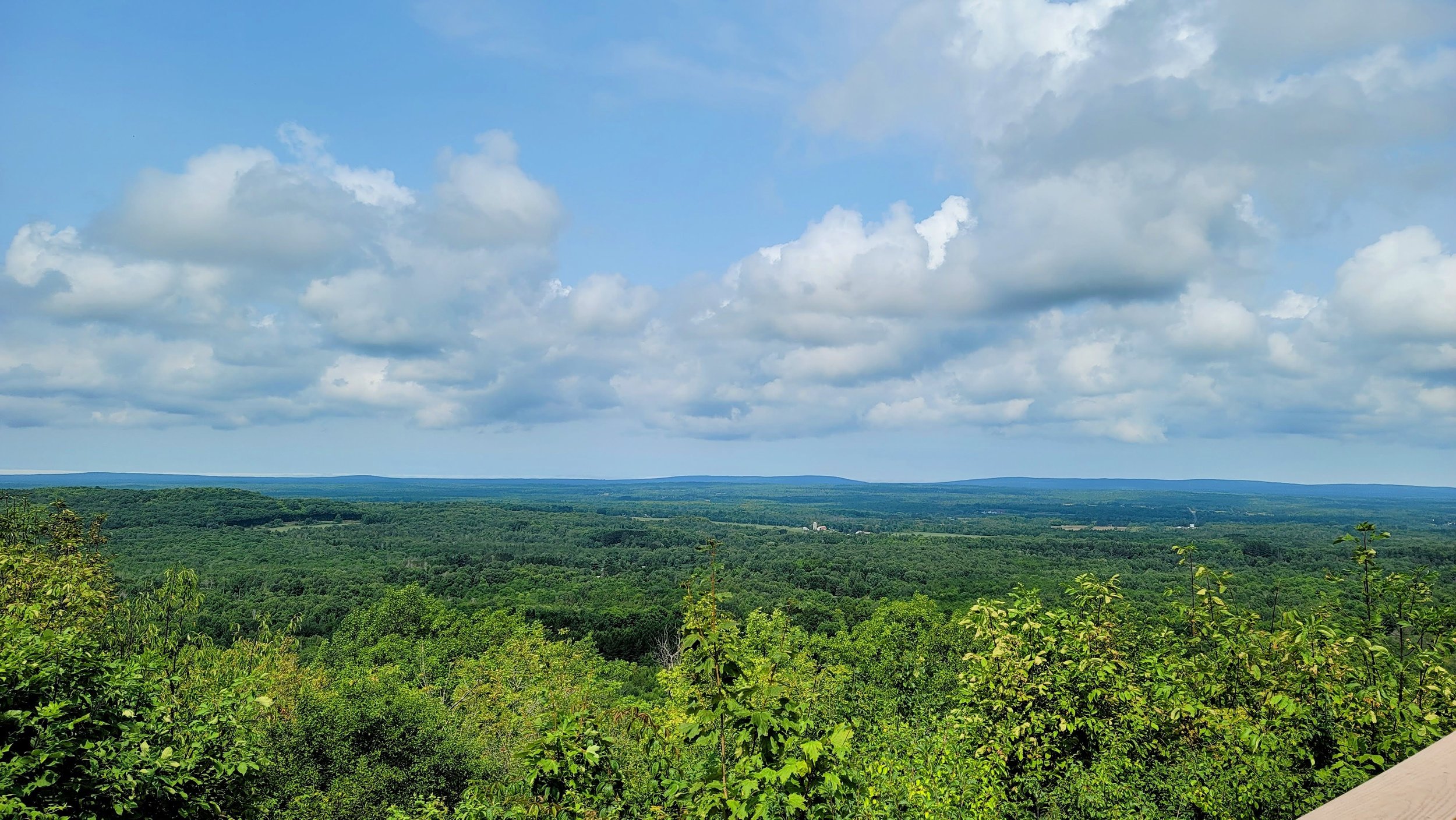
While we’d love to have you join us on the annual group ride, we know that’s not possible for every schedule. Or, If you love cold weather and want to ride your bike 1,200 miles around the perimeter of the Upper Peninsula in January—you can do that. Either way, you still get to experience the circuit of waterfalls, forests, and lakes that makes Tour Da Yoop, Eh so great. Go out and create your own adventure.
THE BASICS

Prepare for an adventure.
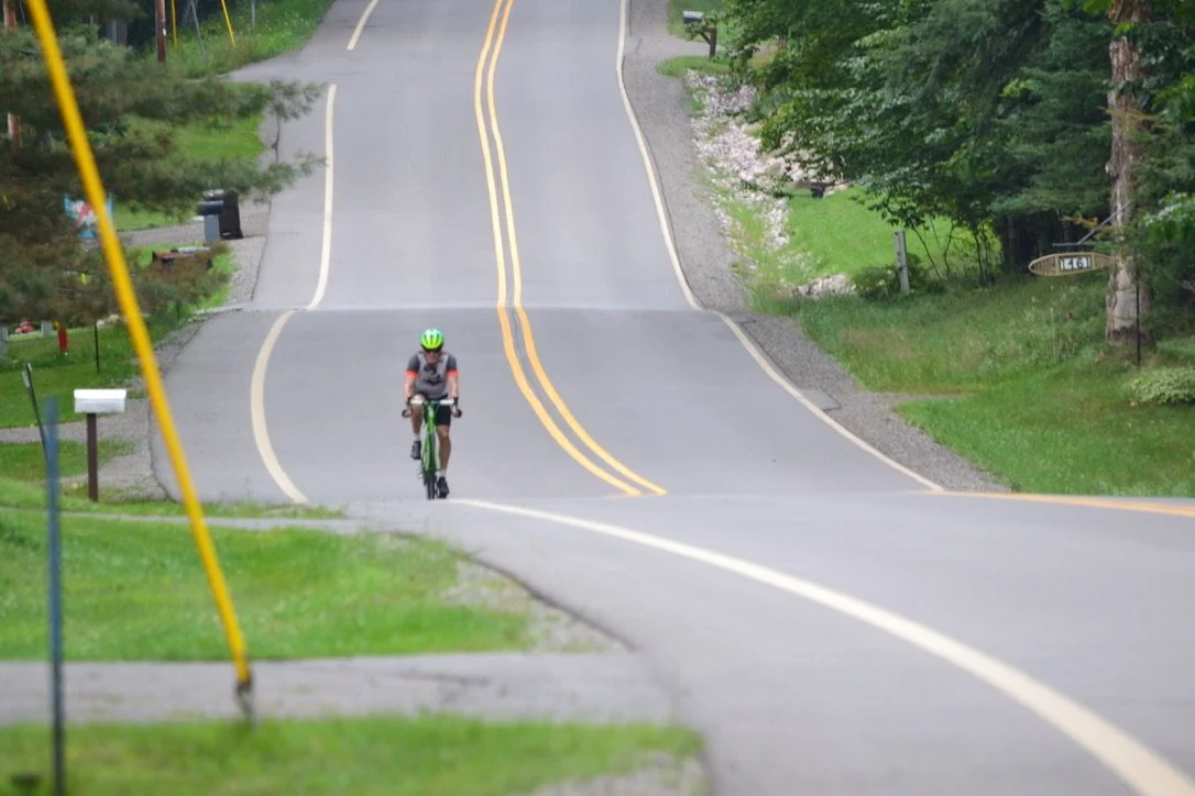
You’ll ride your bike in and out of just about every community in the U.P. You’ll see places most Yoopers have never seen. Most of the time you’ll see very few cars as you explore forgotten roads.
This is a road bike recommended tour. There are around 36 miles of total gravel in the entire 1,200 mile ride.

The Plaid Jersey marks the finale
of an incredible accomplishment. You earn the right to wear plaid during your final section ride.
There is an additional $150 fee if you plan on riding all ten sections and getting the Plaid Jersey. Contact us if you didn’t order a Plaid Jersey but are finishing up your rides and would like one.

Get the tools you need to succeed.
You get the jersey, the routes, town and hotel information. We break down each day for you, letting you know the kind of terrain and experience ahead.
Getting started is simple. Purchase the awesome Orange Camo Jersey ($150). We will email you the routes.
THE ROUTE

Prepare for the ride of a lifetime.
Tour Da Yoop, Eh is a 1,200 course split into ten sections that average out to about 120 miles each. The starting location for the annual event, Manistique, is located at the connection point between the right-most red path and lower yellow path.
Sections starting from Manistique, clockwise:
Manistique to Escanaba (103.8 mi, +1367 ft)
Escanaba to Iron Mountain (127.6 mi, +3337 ft)
Iron Mountain to Ironwood (129.1 mi, +4442 ft)
Ironwood to Houghton (128.0 mi, +4151 ft)
Around Copper Harbor (117.4 mi, +3360 ft)
Houghton to Marquette (113.4 mi, +4791 ft)
Marquette to Grand Marais (107.4 mi, +3398 ft)
Grand Marais to Sault Ste. Marie (133.5 mi, +1976 ft)
Sault Ste. Marie to St. Ignace (122.1 mi, +1654 ft)
St. Ignace to Manistique (126.2 mi, +2303 ft)
TRANSPORTATION
By Bike
If you came on a bike, we can trust that you know your way around.

By car
There are numerous connection points where you (and friends) can station cars for your ride. Check out our transportation page to learn more.
We also include our map of north-south connections in the U.P. with your purchase for your convenience.

By plane
Detroit isn’t the only place near the U.P. to fly to! We recommend Delta County Airport in Escanaba if you’re starting in Manistique. Otherwise here are some other options:
Sawyer International Airport near Marquette
Houghton County Memorial Airport in Houghton
Ford Airport in Iron Mountain
Chippewa County International Airport in Sault Ste. Marie
LEARN MORE
While this page provides a brief rundown of the ride, our website contains a wealth of other information. Browse around or follow our suggestions below for further reading. Otherwise, the checkout tile is right below this section. See you soon!
Rider Central
Dig into the details of this ride and others by Tour Da Yoop, Eh.
Blog
Read about experiences and exciting information involving Tour Da Yoop, Eh.
Training Plan
View our resources on how to prepare for and take care of yourself during the ride.
Jerseys
Ogle our custom jerseys, a special design for each ride.
GET YOUR JERSEY & ROUTES
Have a question?
Send us a message, and we will get in touch.