
BiKE UP
Putting U.P. biking on the map. Literally.
Self-Supported Rides > BiKE UP
Let’s show the world.
The best way for the world to see where to bike is to show them where to bike. Using Strava’s Global Heat Map, we can show the entire world that the Upper Peninsula has some of the best and safest biking opportunities around.
THE BASICS

There are 6 separate routes.
On a map, they spell “BiKE UP.” “B” is the longest route coming in at 168 miles. If that’s too long of a day for you, just split it into two days. “i” is the shortest route coming in at 35 miles one way or 70 miles round trip.
Most of the routes are road bike worthy. An alternate “P” route has gravel. Some you may want a gravel bike. But, hey! this is the U.P.—a land where all kinds of adventures await!

The more of us that ride BiKE UP,
the more the world sees what an great place the U.P. is to ride.
There were only 18 vehicle-bike accidents in the U.P. in 2020. Compare that to over 1,200 in lower Michigan. The U.P. is a road biking paradise. You don’t realize it until you ride it. We just have to show people where to go.
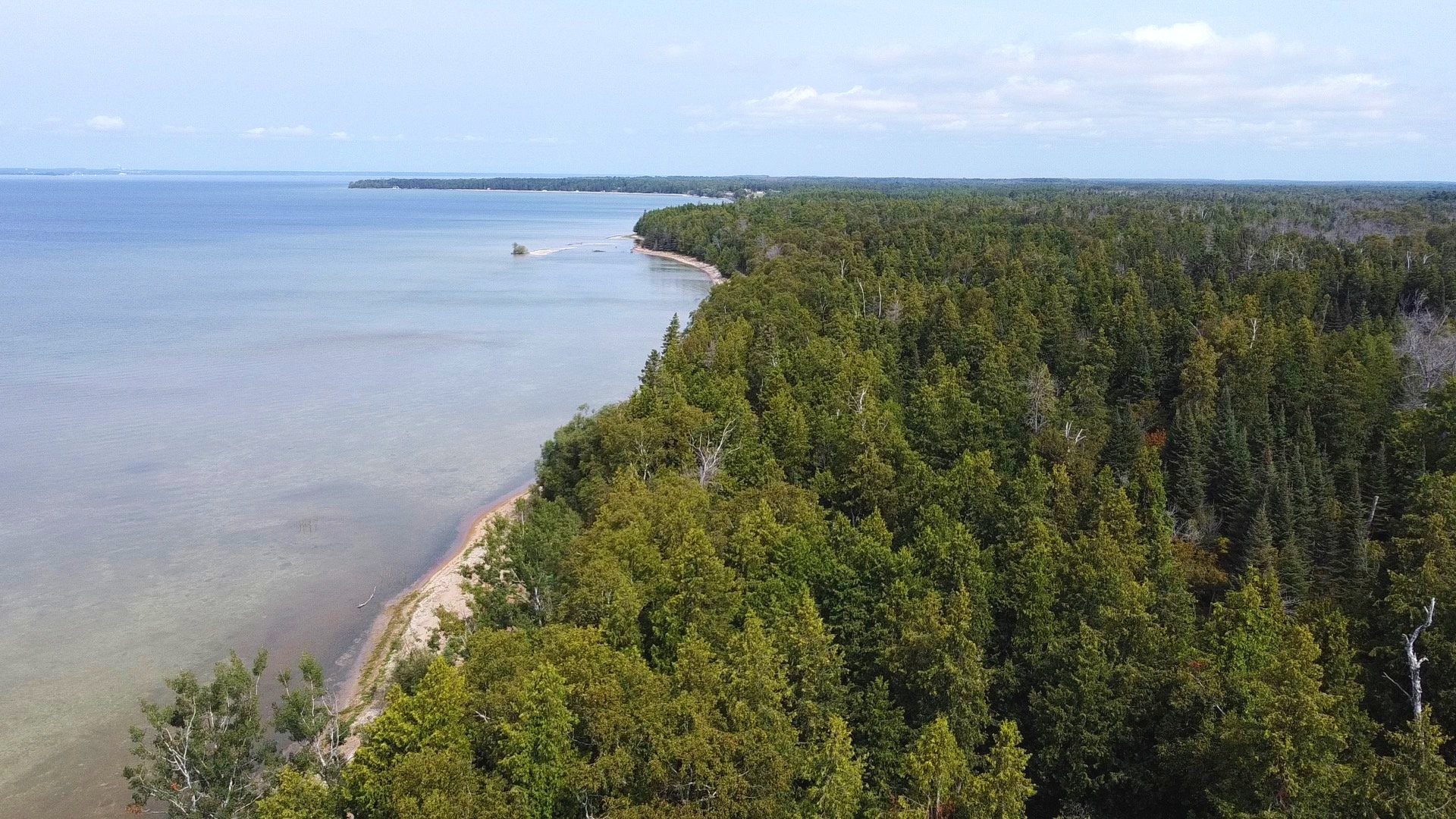
This is a unique U.P. adventure.
BiKE UP lets you explore the interior of the U.P. with tons of fun challenges. Put your stuff on Strava and show the world what an awesome and safe place the UP is for biking.
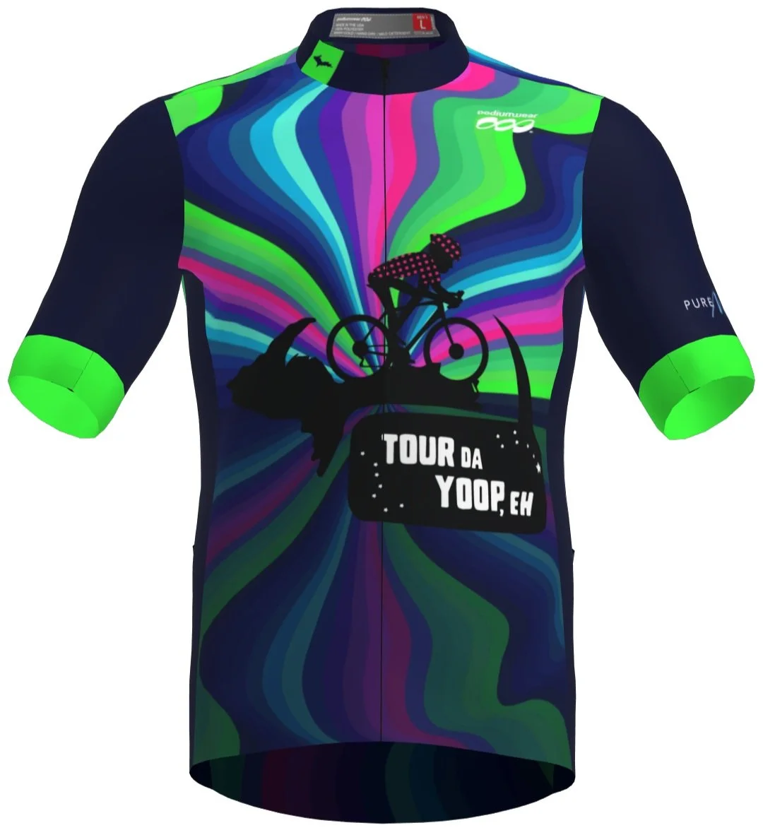
Getting started is simple. Purchase the beautiful BiKE UP jersey ($150). We will email you the routes. Go and show the world what we’re made of.
THE ROUTE

Get your BiKE on.
BiKE UP is unlike any of our other experiences. Ride around the interior of our beautiful peninsula and discover what you miss during the Tour Da Yoop, Eh experience.
B (168.4 mi, +6018 ft)
i (69.6 mi, +1978 ft)
K (129.8 mi, +4491 ft)
E (116.1 mi, +2540 ft)
U (101.9 mi, +2121 ft)
P (below)
a. Red path (some gravel, 136.5 mi, +3102 ft)
b. Green path (120.4 mi, +2719 ft)
TRANSPORTATION
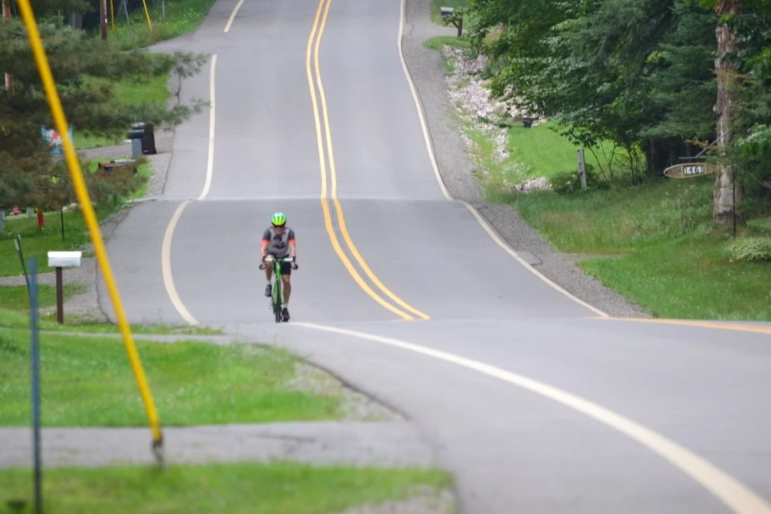
By Bike
If you came on a bike, we can trust that you know your way around.

By car
There are numerous connection points where you (and friends) can station cars for your ride. Check out our transportation page to learn more.
We also include our map of north-south connections in the U.P. with your purchase for your convenience.

By plane
Detroit isn’t the only place near the U.P. to fly to! We recommend Delta County Airport in Escanaba for the closest airport to all six letters.
LEARN MORE
While this page provides a brief rundown of the ride, our website contains a wealth of information about Upper Peninsula biking. Browse around or follow our suggestions below for further reading. Otherwise, the checkout tile is right beneath this section. See you soon!
Rider Central
Dig into the details of this ride and others by Tour Da Yoop, Eh.
Blog
Read about experiences and exciting information involving Tour Da Yoop, Eh.
Training Plan
View our resources on how to prepare for and take care of yourself during the ride.
Jerseys
Ogle our custom jerseys, a special design for each ride.
GET YOUR JERSEY & ROUTES
Have a question?
Send us a message, and we will get in touch.